

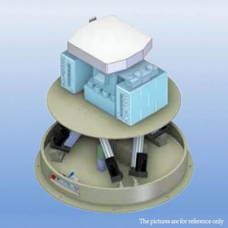
Extended Coverage. Intelligent Monitoring. Reliable Airspace Awareness.
The Long-Range Airspace Surveillance Radar is a high-performance monitoring solution designed to provide continuous detection, tracking, and classification of low-altitude and medium-altitude aerial objects over large areas.
Combining advanced S-band radar technology, AI-powered target recognition, digital beamforming, and multi-sensor integration, the system delivers exceptional situational awareness for airports, energy facilities, ports, transportation hubs, industrial parks, and critical infrastructure.
With detection ranges exceeding 15 km and support for large-scale networked deployments, the radar enables organizations to monitor extensive airspace with greater confidence, accuracy, and operational efficiency.
Key Features
Long-Range Detection Capability
The radar is capable of detecting small aerial targets with an RCS of 0.01 m² at distances exceeding 15 kilometers.
Benefits include:
Earlier target awareness
Extended monitoring coverage
Improved operational planning
Reduced coverage gaps
Full 360° Airspace Monitoring
A dual-face rotating phased-array architecture provides continuous 360-degree coverage.
Advantages include:
No blind zones
Continuous target updates
Wide-area monitoring
Reliable tracking across large sites
Ideal for airports, industrial complexes, ports, and large infrastructure projects.
Digital Beamforming Technology
The radar utilizes fully digital beamforming (DBF) technology to improve target detection and tracking performance.
Key benefits:
Simultaneous multi-target observation
Improved target separation
Enhanced tracking stability
Greater detection efficiency
Large-Scale Multi-Target Tracking
The system supports:
More than 200 simultaneous tracked target groups
Cluster tracking exceeding 500 targets
Real-time trajectory management
Multi-object correlation analysis
This makes the radar suitable for busy and complex airspace environments.
Multi-Sensor Integration
The radar can seamlessly integrate with:
Electro-optical cameras
Thermal imaging systems
AI video analytics
Airspace monitoring platforms
Third-party command and monitoring systems
This enables automatic target verification and improved operational awareness.
Technical Specifications
| Parameter | Specification |
|---|---|
| Operating Frequency | S-Band (3.2 GHz) |
| Detection Range | ≥ 15 km (RCS 0.01 m²) |
| Coverage | 360° Full Coverage |
| Angular Accuracy | ≤ 0.15° |
| Peak Power | 1 kW (GaN) |
| System Weight | ≤ 200 kg |
| Simultaneous Tracking | ≥ 200 Target Groups |
| Cluster Tracking Capacity | 500+ Targets |
| Anti-Interference Capability | Cognitive Interference Suppression + Agile Frequency Management |
AI-Powered Radar Intelligence
Proprietary AI Radar Processing
The system incorporates a dedicated AI radar processor designed for real-time edge analytics.
Capabilities include:
Inference latency below 5 ms
Low processing power consumption
Remote software upgrades
Continuous model optimization
Real-time data analysis
Advanced Target Classification
The AI engine can classify multiple aerial object categories, including:
Drones
Birds
Balloons
Helicopters
Other airborne objects
Classification accuracy exceeds 98.5% under operational conditions.
Micro-Doppler Recognition Technology
Advanced micro-Doppler analysis enables highly accurate identification of object movement characteristics.
Benefits include:
Improved target discrimination
Reduced false alarms
Enhanced tracking reliability
Better low-altitude detection performance
Intelligent AI Algorithms
Multi-Layer Verification
The system combines radar data with optical confirmation workflows.
Detection Process:
Radar Detection → Optical Tracking → AI Visual Verification
This significantly reduces false alerts and improves operational confidence.
Adaptive Resource Optimization
AI-driven resource management dynamically optimizes:
Beam allocation
Signal waveforms
Processing resources
Tracking priorities
This ensures optimal performance in complex operating environments.
Deep Learning Clutter Suppression
Advanced neural-network algorithms improve target visibility by reducing environmental clutter.
Benefits include:
Improved signal quality
Enhanced low-observable target detection
Better performance in urban environments
More stable tracking results
Designed for Continuous Operation
Industrial-Grade Reliability
Built for demanding 24/7 monitoring applications.
Key reliability features:
MTBF > 50,000 hours
Dual power redundancy
Dual communication channels
Integrated surge protection
Lightning protection
Extreme Environmental Endurance
The system is designed for reliable operation in:
High temperatures
Low temperatures
Coastal environments
Dust and sand conditions
High humidity environments
The phased-array antenna system is designed for a service life exceeding 15 years.
Flexible Networking and Expansion
Multi-Radar Networking
Multiple radar systems can be connected into a unified monitoring network.
Capabilities include:
2–100 node deployment
Hybrid wired and wireless networking
Dynamic node management
Distributed monitoring architecture
Multi-Platform Access
Users can access radar information through:
Web-based control centers
Desktop workstations
Mobile applications
Tablets
AR visualization devices
Open API integration
Continuous Software Evolution
The platform supports:
Remote firmware upgrades
AI model updates
Algorithm optimization
Customized monitoring rules
This ensures long-term system value and continuous performance improvements.
Typical Applications
Airport Airspace Monitoring
Suitable for:
Airport perimeter monitoring
Airfield situational awareness
Low-altitude object detection
Airspace activity management
Critical Infrastructure Protection
Applicable to:
Power generation facilities
Utility networks
Transportation hubs
Industrial parks
Data centers
Energy and Oil & Gas Operations
Supports monitoring around:
Refineries
LNG terminals
Pipeline networks
Offshore facilities
Storage terminals
Maritime Monitoring
Optimized for:
Ports
Coastal facilities
Offshore platforms
Maritime infrastructure
Specialized algorithms provide sea clutter suppression and vessel-motion compensation.
Smart City Projects
Supports:
Urban airspace monitoring
Public event protection
Intelligent perimeter monitoring
Multi-sensor city networks
Lower Total Cost of Ownership
The radar is engineered to reduce operational expenses throughout its lifecycle.
Benefits include:
Proprietary chip technology reducing hardware costs
Modular architecture for easier maintenance
Remote diagnostics and troubleshooting
OTA software updates
Reduced on-site service requirements
Organizations can achieve more than 35% lifecycle cost savings over five years.
Service & Support
Pre-Sales Services
Technical consultation
Site assessment
Customized solution design
Demonstration support
Deployment Services
Installation assistance
System commissioning
Integration services
Operator training
Warranty & Technical Support
3-Year Manufacturer Warranty
24/7 Remote Technical Support
Fast Response Service
Long-Term Support
Firmware upgrades
AI model optimization
Preventive maintenance
Spare parts availability
Why Choose This Long-Range Airspace Surveillance Radar?
✔ Detection range exceeding 15 km
✔ Full 360° monitoring coverage
✔ Advanced digital beamforming technology
✔ AI-powered classification accuracy above 98.5%
✔ Support for large-scale target tracking
✔ Flexible multi-radar networking
✔ Reliable operation in harsh environments
✔ Reduced lifecycle costs and maintenance requirements
✔ Continuous software upgrades and technical support
FAQ
What is the maximum detection range?
The radar can detect targets with an RCS of 0.01 m² at distances exceeding 15 kilometers under typical operating conditions.
Does the radar provide full 360-degree coverage?
Yes. The dual-face rotating phased-array architecture enables continuous 360° monitoring without blind zones.
How many targets can the system track simultaneously?
The system supports tracking more than 200 target groups simultaneously and can manage target clusters exceeding 500 objects.
Can the radar distinguish drones from birds?
Yes. AI-powered micro-Doppler analysis allows the system to classify drones, birds, balloons, helicopters, and other aerial objects with high accuracy.
Can the radar integrate with cameras and thermal imaging systems?
Yes. The radar supports integration with electro-optical cameras, thermal imaging systems, and AI analytics platforms for automatic target verification.
Is the radar suitable for airport applications?
Yes. The system is designed for airport airspace monitoring and can support low-altitude object detection around aviation facilities.
Can multiple radar units work together?
Yes. Multiple systems can be networked into a unified monitoring platform to extend coverage and improve situational awareness.
Does the radar operate in adverse weather conditions?
Yes. Radar performance remains reliable in rain, fog, dust, humidity, and challenging environmental conditions.
What industries commonly use this type of radar?
Common applications include:
Airports
Energy facilities
Utilities
Ports
Transportation infrastructure
Industrial parks
Smart city projects
Does the system support remote software updates?
Yes. Firmware, AI models, and algorithms can be updated remotely, reducing maintenance costs and extending system lifespan.
Can the system be customized?
Yes. Different deployment configurations, integration options, and monitoring requirements can be tailored to project needs.
How can I request a quotation?
Simply contact our team with your project details, coverage requirements, and site information. Our engineers will recommend a suitable solution and provide a customized quotation.
Hot Tags: long-range airspace surveillance radar, China long-range airspace surveillance radar manufacturers, suppliers, factory, Integrated UAV Detection and Countermeasure Device, Portable Anti Drone System, public security jamming system, radio induction and jamming system


